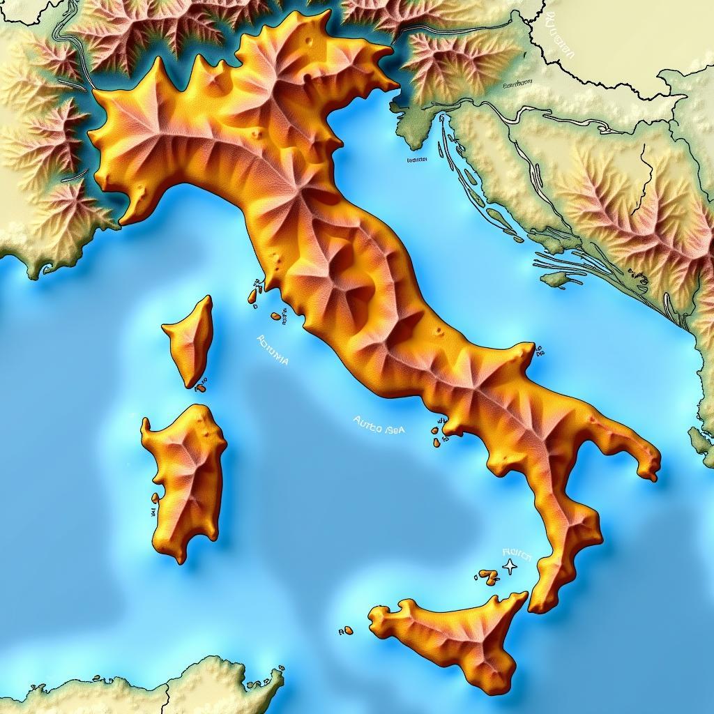
Exploring Italy’s Terrain: A Detailed Look at the Italy Relief Map
November 12, 2024Understanding Italy’s geography is key to appreciating its diverse landscapes, from the towering Alps to the sunny Mediterranean coast. An Italy Relief Map provides a visual representation of this varied terrain, showcasing the elevation changes and landforms that shape this beautiful country. This detailed guide will delve into the intricacies of the Italian landscape, exploring the different regions and the geological forces that have molded them.
The Importance of an Italy Relief Map
Italy’s relief map is more than just a geographical tool; it’s a window into the country’s history, culture, and even its economy. By understanding the terrain, we can better grasp the challenges and opportunities faced by the people who live there. The map highlights the mountainous regions, the fertile plains, and the extensive coastline, all of which have played a crucial role in shaping Italy’s identity. From the snow-capped peaks of the Dolomites to the rolling hills of Tuscany, the relief map tells a story of geological change and human adaptation.
Decoding the Topography: Mountains, Plains, and Coastlines
Italy’s diverse topography is a result of complex geological processes. The Apennine Mountains, forming the backbone of the peninsula, dominate the landscape. These mountains, formed by tectonic plate collisions, are a source of numerous rivers and create a variety of microclimates, impacting everything from agriculture to regional dialects. The Po Valley, a vast and fertile plain in northern Italy, contrasts sharply with the mountainous terrain. This plain, formed by the Po River and its tributaries, is a vital agricultural region and a hub of economic activity. Finally, Italy’s extensive coastline, stretching over 7,600 kilometers, is dotted with picturesque bays, harbors, and beaches, playing a significant role in the country’s tourism and maritime history.
 Italy Relief Map Showing Mountains, Plains, and Coastline
The Italian peninsula is a testament to the power of plate tectonics. The ongoing collision between the African and Eurasian plates has created a dynamic landscape, prone to earthquakes and volcanic activity. Mount Vesuvius, near Naples, and Mount Etna, in Sicily, are stark reminders of this ongoing geological activity.
Regional Variations in Italy’s Relief
Italy’s relief map also reveals significant regional variations. The Alps in the north, with their jagged peaks and glaciers, offer a stark contrast to the rolling hills of Tuscany and Umbria. The coastal plains of Puglia and Calabria are distinct from the volcanic landscapes of Sicily and Sardinia. These regional variations not only contribute to the country’s scenic beauty but also influence local economies, cultures, and lifestyles.
Dr. Elena Rossi, a prominent geographer specializing in Italian landscapes, notes, “The regional diversity in Italy’s relief is what makes it so unique. Each region offers a distinct geographical experience, shaping the local culture and history.”
Utilizing an Italy Relief Map for Travel and Exploration
For travelers, an Italy relief map can be an invaluable tool. It can help you plan hiking routes in the Dolomites, choose the perfect cycling tour in Tuscany, or understand the best locations for enjoying the Italian coast. By understanding the terrain, you can make informed decisions about your itinerary and maximize your travel experience.
Professor Marco Bianchi, an expert in Italian tourism and geography, emphasizes, “An Italy relief map is essential for any traveler wanting to truly understand and appreciate the country’s diverse landscapes. It allows you to plan your journey effectively and discover hidden gems off the beaten path.”
Conclusion
An Italy relief map is more than just a geographical representation; it’s a key to unlocking the secrets of this fascinating country. By studying the map, we can gain a deeper appreciation for Italy’s diverse landscapes, its rich history, and the forces that have shaped its identity. Understanding the terrain is essential for anyone seeking to explore and experience the true beauty of Italy.
FAQ
-
What is an Italy relief map?
An Italy relief map shows the elevation changes and landforms of the country. -
What are the main mountain ranges in Italy?
The Alps and the Apennines are the main mountain ranges in Italy. -
What is the largest plain in Italy?
The Po Valley is the largest plain in Italy. -
How long is Italy’s coastline?
Italy’s coastline stretches over 7,600 kilometers. -
Why is an Italy relief map useful for travelers?
It helps in planning routes, choosing activities, and understanding the landscape. -
What are some examples of volcanic activity in Italy?
Mount Vesuvius and Mount Etna are examples of active volcanoes in Italy. -
How does the relief map influence Italy’s regional diversity?
The varied terrain creates different microclimates and influences local economies and cultures.
Situations where an Italy Relief Map would be useful:
- Planning a hiking trip: Understanding the elevation changes and terrain is crucial for choosing appropriate trails and estimating hiking times.
- Cycling tours: A relief map can help cyclists plan routes that avoid steep climbs or take advantage of downhill sections.
- Understanding regional agriculture: The map highlights fertile plains and valleys, explaining the distribution of agricultural activities.
- Studying historical battles: Terrain played a significant role in many historical battles fought on Italian soil.
- Appreciating the country’s biodiversity: Different elevations and landforms support unique ecosystems and plant life.
Further Exploration:
- Explore detailed geological maps of Italy.
- Research the formation of the Alps and Apennines.
- Investigate the impact of Italy’s geography on its history and culture.
If you need assistance please contact Phone Number: 0963418788, Email: [email protected] Or visit: 2M4H+PMH, Phường Nghĩa Thành, Gia Nghĩa, Đắk Nông, Việt Nam. We have a 24/7 customer support team.