Nautical Map Tampa Bay: A Sailor’s Guide
October 31, 2024Navigating the vibrant waters of Tampa Bay requires more than just a boat and a sense of adventure. A reliable nautical map of Tampa Bay is crucial for safe and enjoyable exploration. Whether you’re a seasoned sailor, a weekend fisherman, or a casual kayaker, understanding the importance of a good nautical map is paramount.
Choosing the Right Nautical Map for Tampa Bay
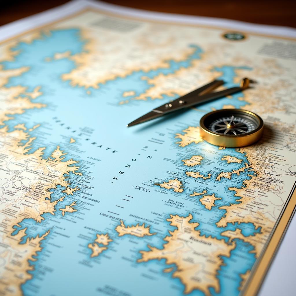
There are various types of nautical maps available for Tampa Bay, each offering different levels of detail and serving different purposes. From traditional paper charts to modern electronic charts, selecting the right one for your needs is the first step to a successful voyage. Factors like the size of your vessel, the type of activity you’re planning, and your familiarity with the area all play a role in choosing the best nautical map. Are you planning on venturing into shallow waters? Then a chart with detailed bathymetric data is essential. Looking to explore the many islands dotting the bay? A chart with clear markings of navigational aids and channels is a must.
What are the key features to look for? Consider the scale of the map, ensuring it provides sufficient detail for your intended route. Check the date of publication to make sure the information is current. And, of course, ensure it covers the specific area of Tampa Bay you plan to explore.
 Tampa Bay Nautical Chart Overview
Understanding Nautical Charts of Tampa Bay
Nautical charts are more than just maps; they’re a complex language of symbols and abbreviations. Understanding this language is vital for interpreting the information presented and making informed decisions on the water. From understanding water depths and identifying hazards to recognizing navigational aids and interpreting tidal information, learning to read a nautical chart is a fundamental skill for any boater. Think of it as learning a new language – once you grasp the basics, the entire bay opens up to you.
What does a buoy with a red and white vertical stripe signify? What does a flashing green light indicate? These are just a few examples of the information readily available on a nautical map. Knowing how to interpret these symbols can make the difference between a smooth sail and a potentially dangerous situation.
Electronic vs. Paper Charts for Tampa Bay
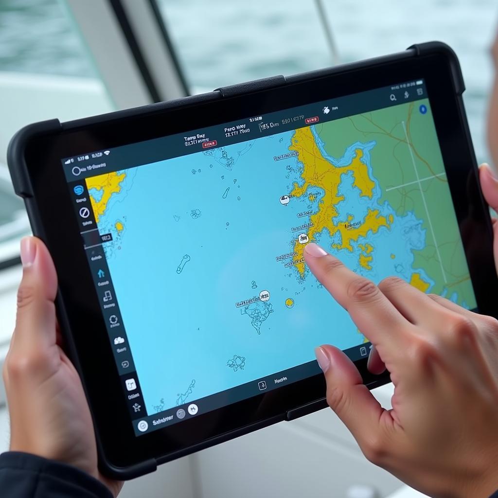
The age-old debate: paper vs. digital. Both paper and electronic charts have their pros and cons. Paper charts offer a tangible, big-picture view that can be incredibly useful for planning and visualizing your route. However, they require manual updates and can be cumbersome to use in challenging conditions. Electronic charts, on the other hand, offer real-time updates, GPS integration, and a wealth of additional information at your fingertips. But they are reliant on technology, which can sometimes fail.
Which one is right for you? It often comes down to personal preference and the specific circumstances of your voyage. Many boaters opt for a combination of both, leveraging the benefits of each.
 Electronic Nautical Chart of Tampa Bay on Tablet
Exploring Tampa Bay with Your Nautical Map
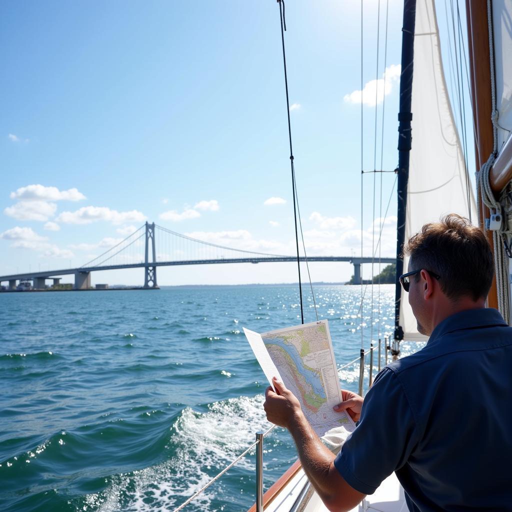
Tampa Bay offers a wealth of exciting destinations to explore, from the bustling port of Tampa to the serene waters of Boca Ciega Bay. With your nautical map as your guide, you can confidently navigate these diverse environments, discovering hidden coves, pristine beaches, and abundant wildlife. Imagine anchoring in a secluded bay, surrounded by mangroves, and watching the sunset paint the sky with vibrant colors. A good nautical chart helps make these experiences possible.
Where can you find updated nautical maps of Tampa Bay? Local marine supply stores, online retailers, and even some marinas offer a wide selection of charts. It’s also worth checking official government sources for the most up-to-date and accurate information.
 Sailboat Navigating Tampa Bay with Nautical Chart
Conclusion
A nautical map of Tampa Bay is an indispensable tool for any boater. From ensuring safe navigation to discovering hidden gems, a good chart empowers you to explore this beautiful and diverse waterway with confidence. So, whether you’re planning a fishing trip, a leisurely cruise, or a more adventurous expedition, remember to equip yourself with a reliable nautical map of Tampa Bay and enjoy the journey!
For assistance with your nautical map needs, contact us at Phone Number: 0963418788, Email: [email protected] or visit us at 2M4H+PMH, Phường Nghĩa Thành, Gia Nghĩa, Đắk Nông, Việt Nam. We have a 24/7 customer support team.